Bridge Marker on the A337 in Newton St Cyres
Introduction
The photograph on this page of Bridge Marker on the A337 in Newton St Cyres by A Rosevear as part of the Geograph project.
The Geograph project started in 2005 with the aim of publishing, organising and preserving representative images for every square kilometre of Great Britain, Ireland and the Isle of Man.

There are currently over 7.5m images from over 14,400 individuals and you can help contribute to the project by visiting https://www.geograph.org.uk
Bridge Marker on the A337 in Newton St Cyres
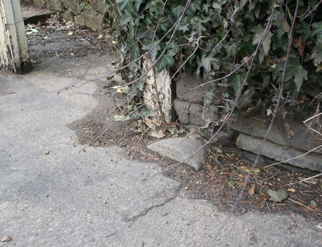
Image: © A Rosevear Taken: 18 Feb 2011
County Bridge Marker sunk in the tarmac of the pavement beside the front gate of No.3 on the north side of the A337 Main Road, 100 metres west of Shuttern Bridge, Shuttern Brook. Newton St Cyres parish. The bridge was built at County expense in 1831, replacing an old packbridge and ford, and the stone marks the extent of roadway adjoining the bridge that the County was obliged to maintain. Milestone Society National ID: DV_EXBS04br
Images are licensed for reuse under creativecommons.org/licenses/by-sa/2.0
Image Location
Latitude
50.770806
Longitude
-3.589369