Former fieldgate and bend sign on NW side of rural road SW of Carleton Hill Cottages
Introduction
The photograph on this page of Former fieldgate and bend sign on NW side of rural road SW of Carleton Hill Cottages by Roger Templeman as part of the Geograph project.
The Geograph project started in 2005 with the aim of publishing, organising and preserving representative images for every square kilometre of Great Britain, Ireland and the Isle of Man.

There are currently over 7.5m images from over 14,400 individuals and you can help contribute to the project by visiting https://www.geograph.org.uk
Former fieldgate and bend sign on NW side of rural road SW of Carleton Hill Cottages
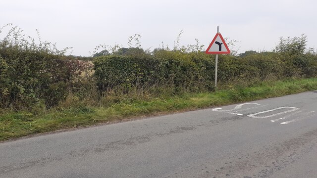
Image: © Roger Templeman Taken: 9 Sep 2021
Ordnance Survey records indicate that a benchmark levelled at 82.980m above Newlyn Datum was verified on a gatepost at this location
Images are licensed for reuse under creativecommons.org/licenses/by-sa/2.0
Image Location
Latitude
54.849621
Longitude
-2.854526