View over Bwlch Mawr
Introduction
The photograph on this page of View over Bwlch Mawr by Natasha Ceridwen de Chroustchoff as part of the Geograph project.
The Geograph project started in 2005 with the aim of publishing, organising and preserving representative images for every square kilometre of Great Britain, Ireland and the Isle of Man.

There are currently over 7.5m images from over 14,400 individuals and you can help contribute to the project by visiting https://www.geograph.org.uk
View over Bwlch Mawr
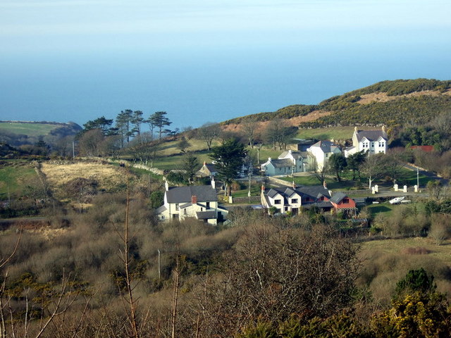
Image: © Natasha Ceridwen de Chroustchoff Taken: 17 Feb 2008
From the hillside above, this is the western end of the Bwlch Mawr area of Dinas, with houses and cottages strung along the old turnpike road, now the A487(T). On the left a footpath leads down to Cilwenen and Aberbach Bay, below the conifers.
Images are licensed for reuse under creativecommons.org/licenses/by-sa/2.0
Image Location
Latitude
52.003972
Longitude
-4.914463