Walls on west side of 'Curdiff'
Introduction
The photograph on this page of Walls on west side of 'Curdiff' by Trevor Littlewood as part of the Geograph project.
The Geograph project started in 2005 with the aim of publishing, organising and preserving representative images for every square kilometre of Great Britain, Ireland and the Isle of Man.

There are currently over 7.5m images from over 14,400 individuals and you can help contribute to the project by visiting https://www.geograph.org.uk
Walls on west side of 'Curdiff'
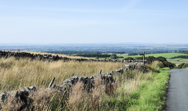
Image: © Trevor Littlewood Taken: 8 Sep 2021
The road at the right side of the image has climbed north from Forest Head and appears to be named Curdiff, on OS maps. The field to the left has two public footpaths beginning at its northern angle, as indicated by the finger post.
Images are licensed for reuse under creativecommons.org/licenses/by-sa/2.0
Image Location
Latitude
54.918601
Longitude
-2.658478