Public footpath towards Broadlands
Introduction
The photograph on this page of Public footpath towards Broadlands by eswales as part of the Geograph project.
The Geograph project started in 2005 with the aim of publishing, organising and preserving representative images for every square kilometre of Great Britain, Ireland and the Isle of Man.

There are currently over 7.5m images from over 14,400 individuals and you can help contribute to the project by visiting https://www.geograph.org.uk
Public footpath towards Broadlands
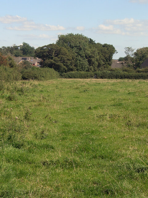
Image: © eswales Taken: 24 Aug 2021
Looking along the course of a stretch of public footpath which runs across farmland towards Broadlands from a spot on the Bridgend Circular Walk by Laleston.
Images are licensed for reuse under creativecommons.org/licenses/by-sa/2.0
Image Location
Latitude
51.504288
Longitude
-3.615225