Donkey Field & Bluebell Wood in Uphill
Introduction
The photograph on this page of Donkey Field & Bluebell Wood in Uphill by Kevin Pearson as part of the Geograph project.
The Geograph project started in 2005 with the aim of publishing, organising and preserving representative images for every square kilometre of Great Britain, Ireland and the Isle of Man.

There are currently over 7.5m images from over 14,400 individuals and you can help contribute to the project by visiting https://www.geograph.org.uk
Donkey Field & Bluebell Wood in Uphill
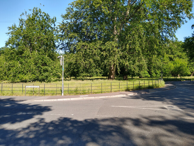
Image: © Kevin Pearson Taken: 5 Jun 2021
The Donkey Field and Bluebell Wood in Uphill village, photographed from the junction of Old Church Road and Uphill Road South. Entrance to Bluebell Wood is a little further up on Uphill Road South.
Images are licensed for reuse under creativecommons.org/licenses/by-sa/2.0
Image Location
Latitude
51.326084
Longitude
-2.980032