St John's Gardens
Introduction
The photograph on this page of St John's Gardens by David Dixon as part of the Geograph project.
The Geograph project started in 2005 with the aim of publishing, organising and preserving representative images for every square kilometre of Great Britain, Ireland and the Isle of Man.

There are currently over 7.5m images from over 14,400 individuals and you can help contribute to the project by visiting https://www.geograph.org.uk
St John's Gardens
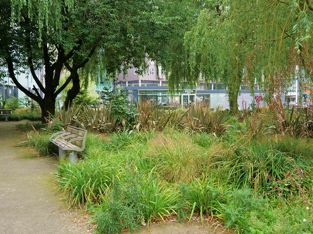
Image: © David Dixon Taken: 6 Sep 2021
The former St John's Church was located off The Rock, then named Stanley Street. The church closed in 1964 but the former graveyard remained. Now, this land forms a garden adjacent to the new Rock Triangle retail and entertainment development which opened in 2010. Several of the gravestones have been retained in the design of the garden alongside the paths.
Images are licensed for reuse under creativecommons.org/licenses/by-sa/2.0
Image Location
Latitude
53.595488
Longitude
-2.291114