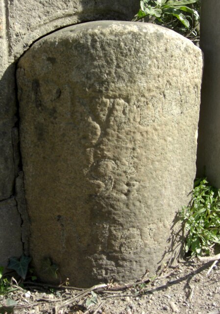
Old Boundary Marker on the former A38 in Lee Mill, Sparkwell parish
Introduction
The photograph on this page of Old Boundary Marker on the former A38 in Lee Mill, Sparkwell parish by T Jenkinson as part of the Geograph project.
The Geograph project started in 2005 with the aim of publishing, organising and preserving representative images for every square kilometre of Great Britain, Ireland and the Isle of Man.
There are currently over 7.5m images from over 14,400 individuals and you can help contribute to the project by visiting https://www.geograph.org.uk

Image: © T Jenkinson Taken: 15 Apr 2012
Parish Boundary Marker against the west end of the north parapet of Leemill Bridge, River Yealm. The inscription of PLYMPTON / ST / MARY has been filled with concrete, perhaps in World War 2. One of a pair of markers at each end of the bridge. In Plympton St Mary parish until 1966 when it was renamed Sparkwell parish. Milestone Society National ID: DV_PLEX08apb

