Trimdon
Introduction
The photograph on this page of Trimdon by David Robinson as part of the Geograph project.
The Geograph project started in 2005 with the aim of publishing, organising and preserving representative images for every square kilometre of Great Britain, Ireland and the Isle of Man.

There are currently over 7.5m images from over 14,400 individuals and you can help contribute to the project by visiting https://www.geograph.org.uk
Trimdon
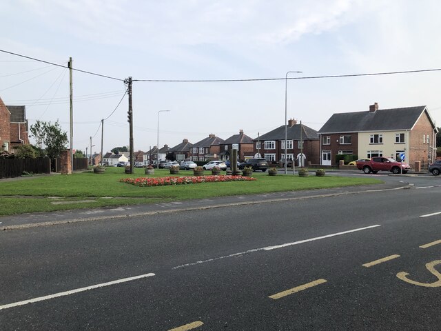
Image: © David Robinson Taken: 9 Sep 2021
The village of Trimdon, known as Trimdon Village to differentiate it from Trimdon Grange, Trimdon Colliery and Trimdon Station (Deaf Hill)
Images are licensed for reuse under creativecommons.org/licenses/by-sa/2.0
Image Location
Latitude
54.70249
Longitude
-1.433417