The path that follows the Siston Brook
Introduction
The photograph on this page of The path that follows the Siston Brook by Neil Owen as part of the Geograph project.
The Geograph project started in 2005 with the aim of publishing, organising and preserving representative images for every square kilometre of Great Britain, Ireland and the Isle of Man.

There are currently over 7.5m images from over 14,400 individuals and you can help contribute to the project by visiting https://www.geograph.org.uk
The path that follows the Siston Brook
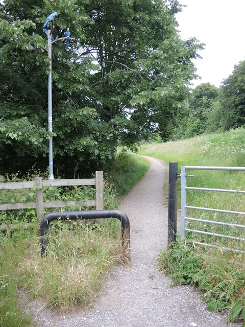
Image: © Neil Owen Taken: 19 Jun 2021
Leaving Court Road, the path runs through the unbuilt valley of the brook. On the pole is a sticker relating the use of the walking bubble during the Covid era. See Image
Images are licensed for reuse under creativecommons.org/licenses/by-sa/2.0
Image Location
Latitude
51.440435
Longitude
-2.478621