Course of public footpath in field south of Laleston
Introduction
The photograph on this page of Course of public footpath in field south of Laleston by eswales as part of the Geograph project.
The Geograph project started in 2005 with the aim of publishing, organising and preserving representative images for every square kilometre of Great Britain, Ireland and the Isle of Man.

There are currently over 7.5m images from over 14,400 individuals and you can help contribute to the project by visiting https://www.geograph.org.uk
Course of public footpath in field south of Laleston
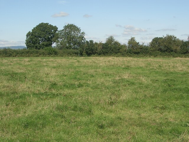
Image: © eswales Taken: 24 Aug 2021
There’s no discernible path on the ground here. Those going northwards on the Bridgend Circular Walk should head toward a kissing gate in the northern corner of the field, which is situated just to the right of the two trees seen in the image. The kissing gate is seen in Image
Images are licensed for reuse under creativecommons.org/licenses/by-sa/2.0
Image Location
Latitude
51.502381
Longitude
-3.616598