Ystrad Rhondda: B4512
Introduction
The photograph on this page of Ystrad Rhondda: B4512 by Chris Downer as part of the Geograph project.
The Geograph project started in 2005 with the aim of publishing, organising and preserving representative images for every square kilometre of Great Britain, Ireland and the Isle of Man.

There are currently over 7.5m images from over 14,400 individuals and you can help contribute to the project by visiting https://www.geograph.org.uk
Ystrad Rhondda: B4512
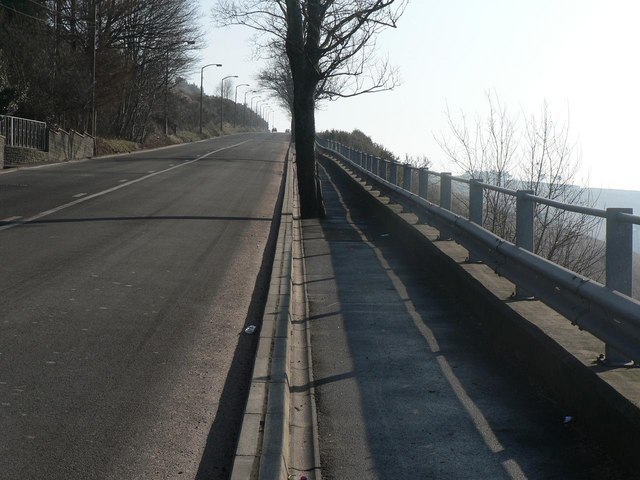
Image: © Chris Downer Taken: 18 Feb 2008
The road towards Tylorstown ascends steeply.
Images are licensed for reuse under creativecommons.org/licenses/by-sa/2.0
Image Location


Leaflet Map data © OpenStreetMap
Latitude
51.642674
Longitude
-3.450178