Denton, Hardisty's Farm
Introduction
The photograph on this page of Denton, Hardisty's Farm by Mel Towler as part of the Geograph project.
The Geograph project started in 2005 with the aim of publishing, organising and preserving representative images for every square kilometre of Great Britain, Ireland and the Isle of Man.

There are currently over 7.5m images from over 14,400 individuals and you can help contribute to the project by visiting https://www.geograph.org.uk
Denton, Hardisty's Farm
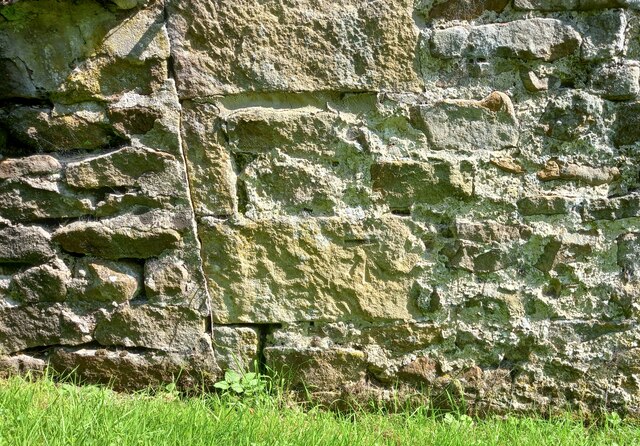
Image: © Mel Towler Taken: 28 Aug 2021
Hardisty's Farm is on the east side of Denton Road. There is a benchmark cut into the gable end of a small barn, which is now a garage to the property.
Images are licensed for reuse under creativecommons.org/licenses/by-sa/2.0
Image Location


Leaflet Map data © OpenStreetMap
Latitude
53.946549
Longitude
-1.788493