Gwennap Pit
Introduction
The photograph on this page of Gwennap Pit by Jonathan Billinger as part of the Geograph project.
The Geograph project started in 2005 with the aim of publishing, organising and preserving representative images for every square kilometre of Great Britain, Ireland and the Isle of Man.

There are currently over 7.5m images from over 14,400 individuals and you can help contribute to the project by visiting https://www.geograph.org.uk
Gwennap Pit
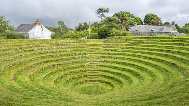
Image: © Jonathan Billinger Taken: 8 Sep 2021
Amphitheatre that features in the early history of John Wesley and Methodism.
Images are licensed for reuse under creativecommons.org/licenses/by-sa/2.0
Image Location


Leaflet Map data © OpenStreetMap
Latitude
50.231667
Longitude
-5.202247