Current edge of Bertha Park
Introduction
The photograph on this page of Current edge of Bertha Park by Richard Webb as part of the Geograph project.
The Geograph project started in 2005 with the aim of publishing, organising and preserving representative images for every square kilometre of Great Britain, Ireland and the Isle of Man.

There are currently over 7.5m images from over 14,400 individuals and you can help contribute to the project by visiting https://www.geograph.org.uk
Current edge of Bertha Park
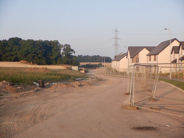
Image: © Richard Webb Taken: 2 Sep 2021
There is a road between the houses and a barley field. At the time there was a gap in the Heras fencing, presumably to allow harvesting, perhaps the last harvest here and I was able to gain access to the stubble.
Images are licensed for reuse under creativecommons.org/licenses/by-sa/2.0
Image Location
Latitude
56.424701
Longitude
-3.491355