The Parish Church of St Mary
Introduction
The photograph on this page of The Parish Church of St Mary by Chris Thomas-Atkin as part of the Geograph project.
The Geograph project started in 2005 with the aim of publishing, organising and preserving representative images for every square kilometre of Great Britain, Ireland and the Isle of Man.

There are currently over 7.5m images from over 14,400 individuals and you can help contribute to the project by visiting https://www.geograph.org.uk
The Parish Church of St Mary
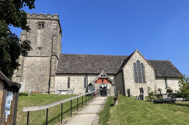
Image: © Chris Thomas-Atkin Taken: 5 Sep 2021
The church is a Grade I listed building. See https://historicengland.org.uk/listing/the-list/list-entry/1354080 At the time the photo was taken building work to provide an extension was in progress.
Images are licensed for reuse under creativecommons.org/licenses/by-sa/2.0
Image Location
Latitude
50.944555
Longitude
-0.421521