Top of the field above West Closes Farm
Introduction
The photograph on this page of Top of the field above West Closes Farm by Stephen Craven as part of the Geograph project.
The Geograph project started in 2005 with the aim of publishing, organising and preserving representative images for every square kilometre of Great Britain, Ireland and the Isle of Man.

There are currently over 7.5m images from over 14,400 individuals and you can help contribute to the project by visiting https://www.geograph.org.uk
Top of the field above West Closes Farm
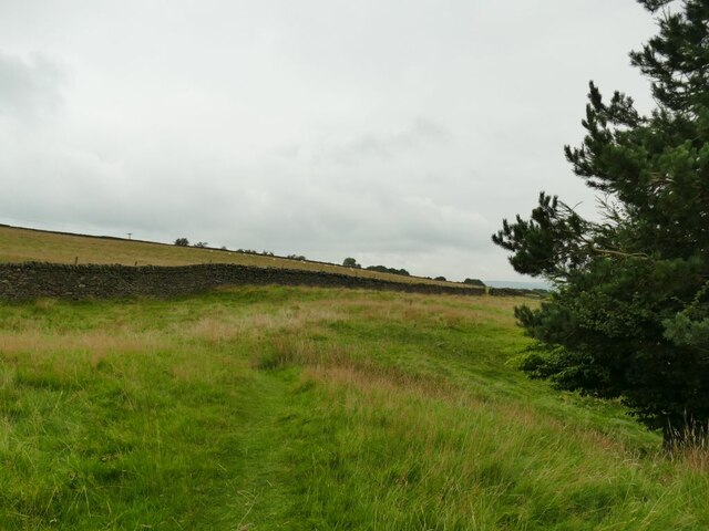
Image: © Stephen Craven Taken: 4 Sep 2021
The footpath dodges round the top of a conifer plantation and briefly enters this grid square in doing so.
Images are licensed for reuse under creativecommons.org/licenses/by-sa/2.0
Image Location
Latitude
53.901254
Longitude
-2.02401