Footpath at Waterend
Introduction
The photograph on this page of Footpath at Waterend by Oliver Dixon as part of the Geograph project.
The Geograph project started in 2005 with the aim of publishing, organising and preserving representative images for every square kilometre of Great Britain, Ireland and the Isle of Man.

There are currently over 7.5m images from over 14,400 individuals and you can help contribute to the project by visiting https://www.geograph.org.uk
Footpath at Waterend
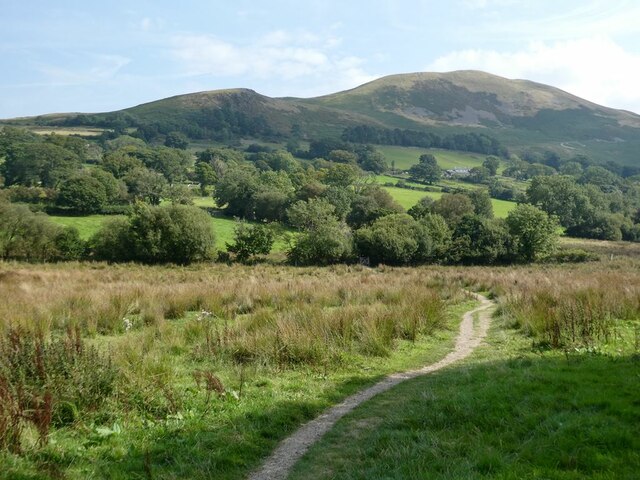
Image: © Oliver Dixon Taken: 5 Sep 2021
Across marshy ground at the head of Loweswater. Darling Fell Image across the valley.
Images are licensed for reuse under creativecommons.org/licenses/by-sa/2.0
Image Location
Latitude
54.589396
Longitude
-3.369048