Between Copses
Introduction
The photograph on this page of Between Copses by Chris Thomas-Atkin as part of the Geograph project.
The Geograph project started in 2005 with the aim of publishing, organising and preserving representative images for every square kilometre of Great Britain, Ireland and the Isle of Man.

There are currently over 7.5m images from over 14,400 individuals and you can help contribute to the project by visiting https://www.geograph.org.uk
Between Copses
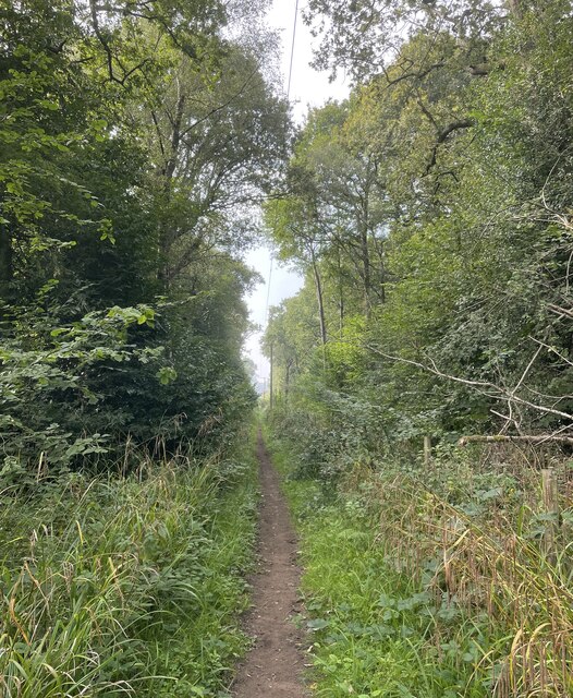
Image: © Chris Thomas-Atkin Taken: 5 Sep 2021
On the West Sussex Literary Trail, which at this point uses a Permissive Path (number G46). The trail is passing between Harbolet’s Copse on the left and Cannon Copse on the right.
Images are licensed for reuse under creativecommons.org/licenses/by-sa/2.0
Image Location
Latitude
50.976834
Longitude
-0.434386