Methodist burial ground in Cross Hills
Introduction
The photograph on this page of Methodist burial ground in Cross Hills by Stephen Craven as part of the Geograph project.
The Geograph project started in 2005 with the aim of publishing, organising and preserving representative images for every square kilometre of Great Britain, Ireland and the Isle of Man.

There are currently over 7.5m images from over 14,400 individuals and you can help contribute to the project by visiting https://www.geograph.org.uk
Methodist burial ground in Cross Hills
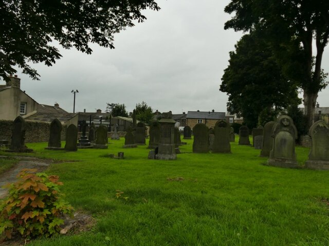
Image: © Stephen Craven Taken: 4 Sep 2021
I assumed this belonged with St Peter's church Image but the 1891 map shows two Methodist chapels close together, each with its own burial ground, and this one seems to belong with St John's (Wesleyan), which was on the site of the present library.
Images are licensed for reuse under creativecommons.org/licenses/by-sa/2.0
Image Location
Latitude
53.901346
Longitude
-1.992658