Selkirk from The Haining Estate
Introduction
The photograph on this page of Selkirk from The Haining Estate by Walter Baxter as part of the Geograph project.
The Geograph project started in 2005 with the aim of publishing, organising and preserving representative images for every square kilometre of Great Britain, Ireland and the Isle of Man.

There are currently over 7.5m images from over 14,400 individuals and you can help contribute to the project by visiting https://www.geograph.org.uk
Selkirk from The Haining Estate
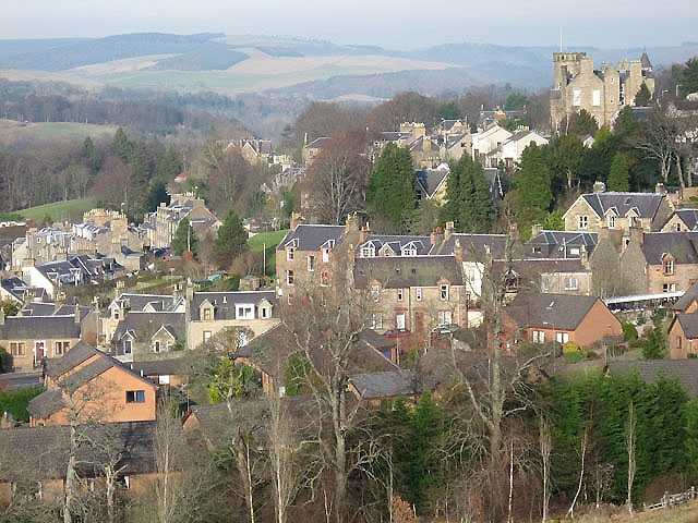
Image: © Walter Baxter Taken: 13 Feb 2008
The houses in the foreground are at Haining Park and The Green, with the County Buildings and Courthouse prominent at the top right corner.
Images are licensed for reuse under creativecommons.org/licenses/by-sa/2.0
Image Location
Latitude
55.546834
Longitude
-2.845501