Course of Roman Road, north of Mynydd Argoed
Introduction
The photograph on this page of Course of Roman Road, north of Mynydd Argoed by Andrew Shannon as part of the Geograph project.
The Geograph project started in 2005 with the aim of publishing, organising and preserving representative images for every square kilometre of Great Britain, Ireland and the Isle of Man.

There are currently over 7.5m images from over 14,400 individuals and you can help contribute to the project by visiting https://www.geograph.org.uk
Course of Roman Road, north of Mynydd Argoed
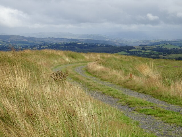
Image: © Andrew Shannon Taken: 19 Aug 2021
Upland track on a north/south historic trackway
Images are licensed for reuse under creativecommons.org/licenses/by-sa/2.0
Image Location
Latitude
52.582212
Longitude
-3.409266