Triangular junction at Danegate
Introduction
The photograph on this page of Triangular junction at Danegate by Marathon as part of the Geograph project.
The Geograph project started in 2005 with the aim of publishing, organising and preserving representative images for every square kilometre of Great Britain, Ireland and the Isle of Man.

There are currently over 7.5m images from over 14,400 individuals and you can help contribute to the project by visiting https://www.geograph.org.uk
Triangular junction at Danegate
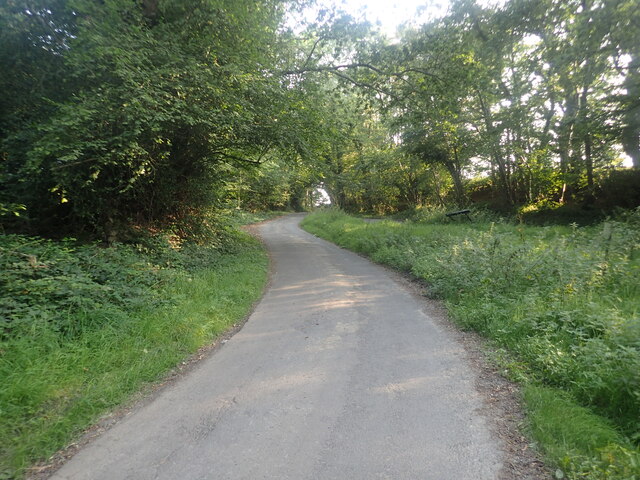
Image: © Marathon Taken: 4 Sep 2021
There is a triangular junction where Danegate meets Sham Farm Road and Blackdon Hill. This view looks up from Danegate to Blackdon Hill. The triangle is on the right.
Images are licensed for reuse under creativecommons.org/licenses/by-sa/2.0
Image Location


Leaflet Map data © OpenStreetMap
Latitude
51.076973
Longitude
0.227688