OS Benchmark locator Newchurch Old Rd
Introduction
The photograph on this page of OS Benchmark locator Newchurch Old Rd by Phill as part of the Geograph project.
The Geograph project started in 2005 with the aim of publishing, organising and preserving representative images for every square kilometre of Great Britain, Ireland and the Isle of Man.

There are currently over 7.5m images from over 14,400 individuals and you can help contribute to the project by visiting https://www.geograph.org.uk
OS Benchmark locator Newchurch Old Rd
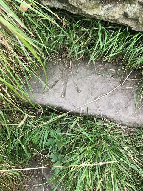
Image: © Phill Taken: 3 Sep 2021
Benchmark locator on a stone now used as a step down onto Newchurch Old Road, Bacup. I assume this would have been located in the wall of the old road originally.
Images are licensed for reuse under creativecommons.org/licenses/by-sa/2.0
Image Location
Latitude
53.695512
Longitude
-2.2129