Old railway trackbed near Ashley
Introduction
The photograph on this page of Old railway trackbed near Ashley by Trevor Rickard as part of the Geograph project.
The Geograph project started in 2005 with the aim of publishing, organising and preserving representative images for every square kilometre of Great Britain, Ireland and the Isle of Man.

There are currently over 7.5m images from over 14,400 individuals and you can help contribute to the project by visiting https://www.geograph.org.uk
Old railway trackbed near Ashley
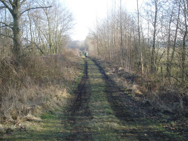
Image: © Trevor Rickard Taken: 18 Feb 2008
View south-east from the point where the old Presteigne branch line crosses the entrance road to Ashley. http://www.smr.herefordshire.gov.uk/post-medieval/railways/king_prest.htm
Images are licensed for reuse under creativecommons.org/licenses/by-sa/2.0
Image Location


Leaflet Map data © OpenStreetMap
Latitude
52.250141
Longitude
-2.977859