Buildings at Shortdale House Farm
Introduction
The photograph on this page of Buildings at Shortdale House Farm by Roger Templeman as part of the Geograph project.
The Geograph project started in 2005 with the aim of publishing, organising and preserving representative images for every square kilometre of Great Britain, Ireland and the Isle of Man.

There are currently over 7.5m images from over 14,400 individuals and you can help contribute to the project by visiting https://www.geograph.org.uk
Buildings at Shortdale House Farm
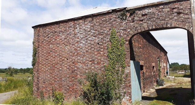
Image: © Roger Templeman Taken: 30 Jun 2021
There is an Ordnance Survey benchmark Image on the barn at the base of the left hand side of the arch
Images are licensed for reuse under creativecommons.org/licenses/by-sa/2.0
Image Location
Latitude
54.917622
Longitude
-2.931632