Coventry Canal, Hill Top
Introduction
The photograph on this page of Coventry Canal, Hill Top by Stephen McKay as part of the Geograph project.
The Geograph project started in 2005 with the aim of publishing, organising and preserving representative images for every square kilometre of Great Britain, Ireland and the Isle of Man.

There are currently over 7.5m images from over 14,400 individuals and you can help contribute to the project by visiting https://www.geograph.org.uk
Coventry Canal, Hill Top
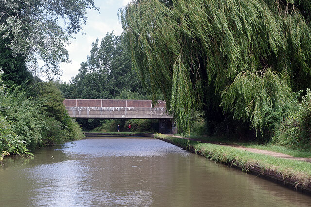
Image: © Stephen McKay Taken: 29 Jul 2021
Bridge 18B on the Coventry Canal is a utilitarian affair carrying Donnithorne Avenue in the Nuneaton suburbs. A letter suffix to a bridge number indicates that it was built after the canal.
Images are licensed for reuse under creativecommons.org/licenses/by-sa/2.0
Image Location
Latitude
52.508025
Longitude
-1.46292