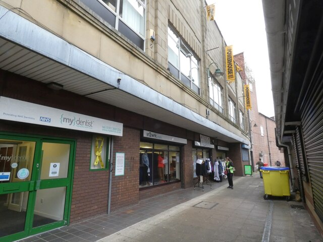
Borough Arcade
Introduction
The photograph on this page of Borough Arcade by Gerald England as part of the Geograph project.
The Geograph project started in 2005 with the aim of publishing, organising and preserving representative images for every square kilometre of Great Britain, Ireland and the Isle of Man.
There are currently over 7.5m images from over 14,400 individuals and you can help contribute to the project by visiting https://www.geograph.org.uk

Image: © Gerald England Taken: 1 Sep 2021
Borough Arcade leads from Market Street to Clarendon Street alongside the former Hippodrome Cinema. The upper storeys are now occupied by the Powerhouse gymnasium Image On the ground floor is what used to be "Angie's Crafts" Image For a while it became a learning centre called "in2wrk". Image Now it is a charity shop and cafe called "Helping Hands" run by the local Methodist Church circuit. Next door is the entrance to the former "Clarendon Dental Practice" now "{my}dentist".

