Troughend Bungalow
Introduction
The photograph on this page of Troughend Bungalow by Oliver Dixon as part of the Geograph project.
The Geograph project started in 2005 with the aim of publishing, organising and preserving representative images for every square kilometre of Great Britain, Ireland and the Isle of Man.

There are currently over 7.5m images from over 14,400 individuals and you can help contribute to the project by visiting https://www.geograph.org.uk
Troughend Bungalow
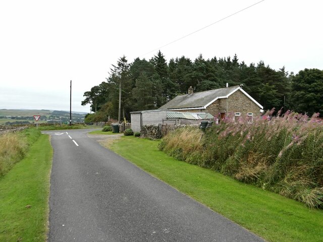
Image: © Oliver Dixon Taken: 1 Sep 2021
On a minor road which joins the A68.
Images are licensed for reuse under creativecommons.org/licenses/by-sa/2.0
Image Location


Leaflet Map data © OpenStreetMap
Latitude
55.229769
Longitude
-2.212693