Wye valley beyond Glanwye View
Introduction
The photograph on this page of Wye valley beyond Glanwye View by Graham Horn as part of the Geograph project.
The Geograph project started in 2005 with the aim of publishing, organising and preserving representative images for every square kilometre of Great Britain, Ireland and the Isle of Man.

There are currently over 7.5m images from over 14,400 individuals and you can help contribute to the project by visiting https://www.geograph.org.uk
Wye valley beyond Glanwye View
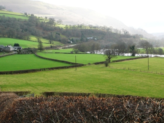
Image: © Graham Horn Taken: 25 Jan 2008
Llanfaredd farm is on the left with fields leading down to the River Wye on the right. Taken from the B road along the east bank of the river just beyond the appropriately named hamlet of Glanwye View (ignoring the switch from Cymraeg to English).
Images are licensed for reuse under creativecommons.org/licenses/by-sa/2.0
Image Location
Latitude
52.148019
Longitude
-3.365697