Wherwell - Watering Hole
Introduction
The photograph on this page of Wherwell - Watering Hole by Chris Talbot as part of the Geograph project.
The Geograph project started in 2005 with the aim of publishing, organising and preserving representative images for every square kilometre of Great Britain, Ireland and the Isle of Man.

There are currently over 7.5m images from over 14,400 individuals and you can help contribute to the project by visiting https://www.geograph.org.uk
Wherwell - Watering Hole
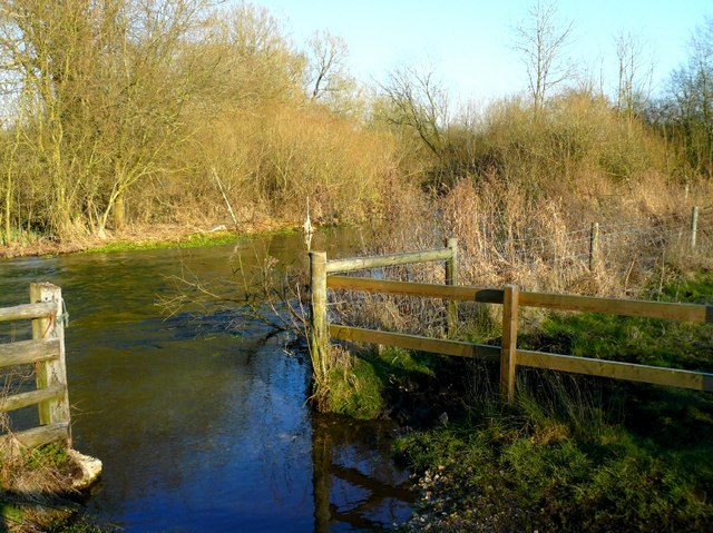
Image: © Chris Talbot Taken: 16 Feb 2008
This area is an SSSI and cows are used as lawnmowers and this is where they have access to the river to drink.
Images are licensed for reuse under creativecommons.org/licenses/by-sa/2.0
Image Location


Leaflet Map data © OpenStreetMap
Latitude
51.161554
Longitude
-1.449379