Chichester : Almshouse Arcade
Introduction
The photograph on this page of Chichester : Almshouse Arcade by Jim Osley as part of the Geograph project.
The Geograph project started in 2005 with the aim of publishing, organising and preserving representative images for every square kilometre of Great Britain, Ireland and the Isle of Man.

There are currently over 7.5m images from over 14,400 individuals and you can help contribute to the project by visiting https://www.geograph.org.uk
Chichester : Almshouse Arcade
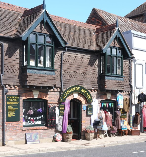
Image: © Jim Osley Taken: 27 Aug 2021
"Late 19th century building previously known as “Deans Almshouses” which provided dwellings to elderly Cicestrians." - https://www.chichester.gov.uk/media/9270/Hornet-The-19-Almshouse-Arcade/pdf/The_Hornet__19__Almshouse_Arcade.pdf
Images are licensed for reuse under creativecommons.org/licenses/by-sa/2.0
Image Location
Latitude
50.836405
Longitude
-0.768144