Bwlch Mawr tennis courts and Castell
Introduction
The photograph on this page of Bwlch Mawr tennis courts and Castell by Natasha Ceridwen de Chroustchoff as part of the Geograph project.
The Geograph project started in 2005 with the aim of publishing, organising and preserving representative images for every square kilometre of Great Britain, Ireland and the Isle of Man.

There are currently over 7.5m images from over 14,400 individuals and you can help contribute to the project by visiting https://www.geograph.org.uk
Bwlch Mawr tennis courts and Castell
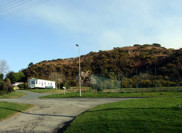
Image: © Natasha Ceridwen de Chroustchoff Taken: 17 Feb 2008
Dinas is unusual in having its own public tennis court, useable on application to a nearby house. Caravan holiday park to the left while the hillock behind is marked on older maps as an antiquity 'Castell', possibly a fortified camp, but this may be only supposition and it is impossible to access now.
Images are licensed for reuse under creativecommons.org/licenses/by-sa/2.0
Image Location
Latitude
52.005811
Longitude
-4.909191