Looking down the B6309 to Glebe Farm
Introduction
The photograph on this page of Looking down the B6309 to Glebe Farm by Robert Graham as part of the Geograph project.
The Geograph project started in 2005 with the aim of publishing, organising and preserving representative images for every square kilometre of Great Britain, Ireland and the Isle of Man.

There are currently over 7.5m images from over 14,400 individuals and you can help contribute to the project by visiting https://www.geograph.org.uk
Looking down the B6309 to Glebe Farm
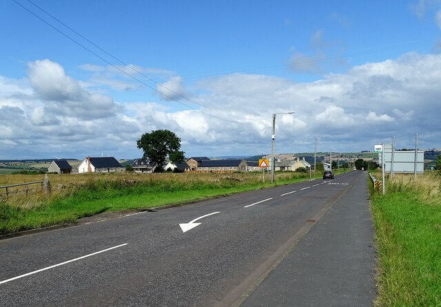
Image: © Robert Graham Taken: 16 Aug 2021
This old farm stands beside Ebchester Hill, the B6309, in a prominent position. It dates back to the early 19th century at least and has been much changed over the years. It is no longer a working farm and most of the buildings have been recently converted to residential.
Images are licensed for reuse under creativecommons.org/licenses/by-sa/2.0
Image Location
Latitude
54.881988
Longitude
-1.831791