Old Boundary Marker in Loose Valley
Introduction
The photograph on this page of Old Boundary Marker in Loose Valley by S Brown as part of the Geograph project.
The Geograph project started in 2005 with the aim of publishing, organising and preserving representative images for every square kilometre of Great Britain, Ireland and the Isle of Man.

There are currently over 7.5m images from over 14,400 individuals and you can help contribute to the project by visiting https://www.geograph.org.uk
Old Boundary Marker in Loose Valley
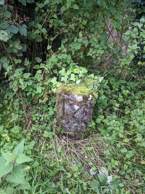
Image: © S Brown Taken: 30 Aug 2021
Parish Boundary Marker beside footpath and stiles in Loose Valley. On the boundary between Loose and Maidstone created in 1934, since 1987 on the boundary between Loose and Tovil parishes. Inscribed M for Maidstone. See http://www.looseareahistorysociety.org.uk/wp-content/uploads/2013/02/THE-BOUNDARY-STONES-OF-THE-PARISH-OF-LOOSE.pdf. Milestone Society National ID: KE_LOOSE342pb
Images are licensed for reuse under creativecommons.org/licenses/by-sa/2.0
Image Location
Latitude
51.246999
Longitude
0.514994