Steps beside the Huggin Craig Burn
Introduction
The photograph on this page of Steps beside the Huggin Craig Burn by Alec MacKinnon as part of the Geograph project.
The Geograph project started in 2005 with the aim of publishing, organising and preserving representative images for every square kilometre of Great Britain, Ireland and the Isle of Man.

There are currently over 7.5m images from over 14,400 individuals and you can help contribute to the project by visiting https://www.geograph.org.uk
Steps beside the Huggin Craig Burn
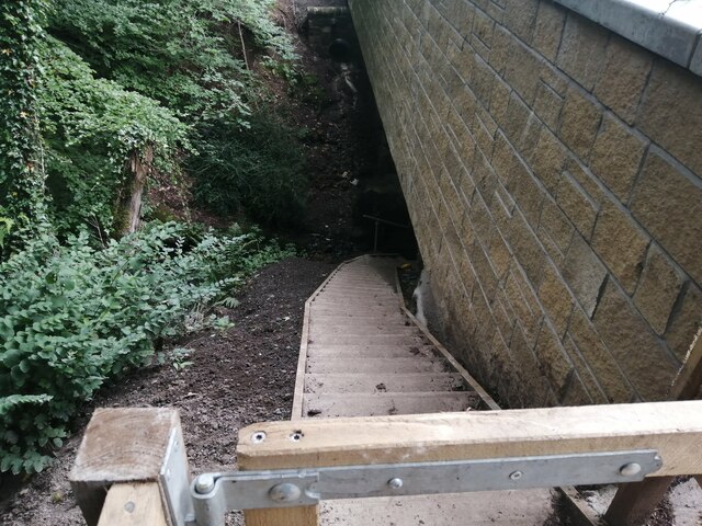
Image: © Alec MacKinnon Taken: 30 Aug 2021
On the north side of this new-looking bridge these steps give a safe route to the side of the burn for pedestrians.
Images are licensed for reuse under creativecommons.org/licenses/by-sa/2.0
Image Location
Latitude
55.612543
Longitude
-4.333829