Red House Park, Stoney Stanton Road, Foleshill
Introduction
The photograph on this page of Red House Park, Stoney Stanton Road, Foleshill by A J Paxton as part of the Geograph project.
The Geograph project started in 2005 with the aim of publishing, organising and preserving representative images for every square kilometre of Great Britain, Ireland and the Isle of Man.

There are currently over 7.5m images from over 14,400 individuals and you can help contribute to the project by visiting https://www.geograph.org.uk
Red House Park, Stoney Stanton Road, Foleshill
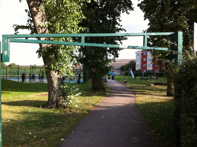
Image: © A J Paxton Taken: 26 Aug 2021
Red House Park is a well-used green space in this very built-up area of Coventry. It takes its name from the Red House public house which stood on Stoney Stanton Road, to the right of this picture. Later known as Fatty Arbuckle's, it closed in 1995 and the blocks of flats called Rathbone Court, visible at the right hand side of this photo, was built on the site. The OS Six Inch Map of 1912 shows a football ground where the park now stands. See Fry, D & Smith A: The Coventry we have lost: Forgotten Foleshill, Simanda Press, 2018, pp93-94. The OS 1:10560 series map of 1949-1970 shows allotments at the rear, adjoining Freeman Street, now also part of the park https://maps.nls.uk/geo/explore/side-by-side/#zoom=17&lat=52.42442&lon=-1.49287&layers=193&right=OSAPI .
Images are licensed for reuse under creativecommons.org/licenses/by-sa/2.0
Image Location
Latitude
52.424826
Longitude
-1.494372