Woodland, Mousehold Heath
Introduction
The photograph on this page of Woodland, Mousehold Heath by Des Blenkinsopp as part of the Geograph project.
The Geograph project started in 2005 with the aim of publishing, organising and preserving representative images for every square kilometre of Great Britain, Ireland and the Isle of Man.

There are currently over 7.5m images from over 14,400 individuals and you can help contribute to the project by visiting https://www.geograph.org.uk
Woodland, Mousehold Heath
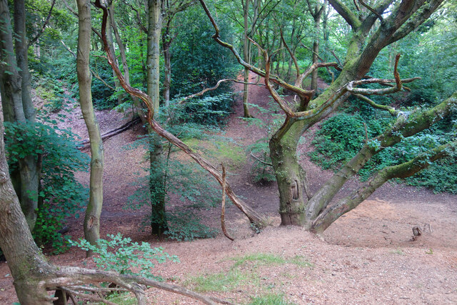
Image: © Des Blenkinsopp Taken: 1 Aug 2021
A surviving fragment of open space now surrounded by suburban Norwich. "In Tudor times, Mousehold Heath stretched as far north as South Walsham and was 22 miles round. The surviving remnant of the heath was given to Norwich City Council (then known as the local corporation) to look after on behalf of the citizens of Norwich in 1880." quoted from https://www.norwich.gov.uk/info/20006/sports_parks_and_leisure/1534/about_mousehold_heath
Images are licensed for reuse under creativecommons.org/licenses/by-sa/2.0
Image Location
Latitude
52.646093
Longitude
1.308102