Hills and Hollows, Mousehold Heath
Introduction
The photograph on this page of Hills and Hollows, Mousehold Heath by Des Blenkinsopp as part of the Geograph project.
The Geograph project started in 2005 with the aim of publishing, organising and preserving representative images for every square kilometre of Great Britain, Ireland and the Isle of Man.

There are currently over 7.5m images from over 14,400 individuals and you can help contribute to the project by visiting https://www.geograph.org.uk
Hills and Hollows, Mousehold Heath
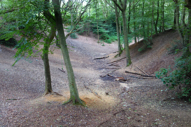
Image: © Des Blenkinsopp Taken: 1 Aug 2021
A wooded area on the edge of Mousehold Heath which looks like it might have been quarries or claypits at one time.
Images are licensed for reuse under creativecommons.org/licenses/by-sa/2.0
Image Location
Latitude
52.645705
Longitude
1.309108