County Bridge
Introduction
The photograph on this page of County Bridge by Dr Neil Clifton as part of the Geograph project.
The Geograph project started in 2005 with the aim of publishing, organising and preserving representative images for every square kilometre of Great Britain, Ireland and the Isle of Man.

There are currently over 7.5m images from over 14,400 individuals and you can help contribute to the project by visiting https://www.geograph.org.uk
County Bridge
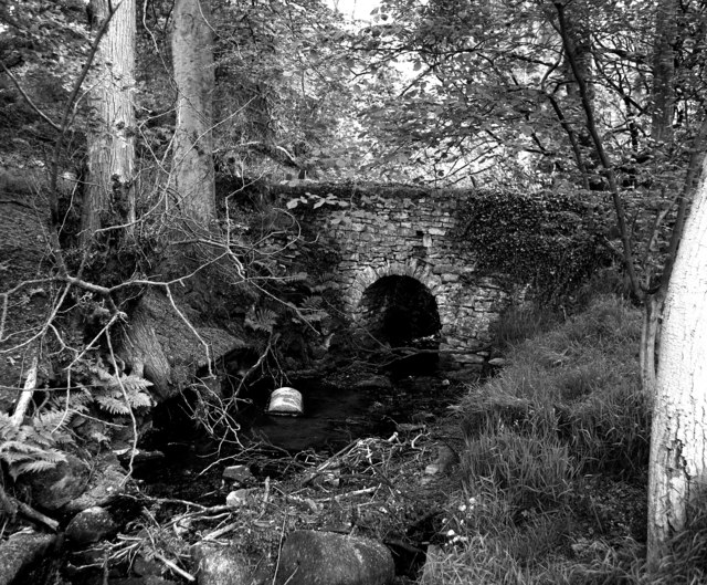
Image: © Dr Neil Clifton Taken: 18 Feb 2008
The ancient and true boundary between Lancashire and Yorkshire, which was also at one time the boundary between the kingdoms of Mercia and Northumbria, ran along this stream, now known as County Brook. The upstream face of the old packhorse bridge is seen here from the Yorkshire side of the brook.
Images are licensed for reuse under creativecommons.org/licenses/by-sa/2.0
Image Location


Leaflet Map data © OpenStreetMap
Latitude
53.891509
Longitude
-2.176922