Reservoir and woodland near Upper Arley, Worcestershire
Introduction
The photograph on this page of Reservoir and woodland near Upper Arley, Worcestershire by Roger Kidd as part of the Geograph project.
The Geograph project started in 2005 with the aim of publishing, organising and preserving representative images for every square kilometre of Great Britain, Ireland and the Isle of Man.

There are currently over 7.5m images from over 14,400 individuals and you can help contribute to the project by visiting https://www.geograph.org.uk
Reservoir and woodland near Upper Arley, Worcestershire
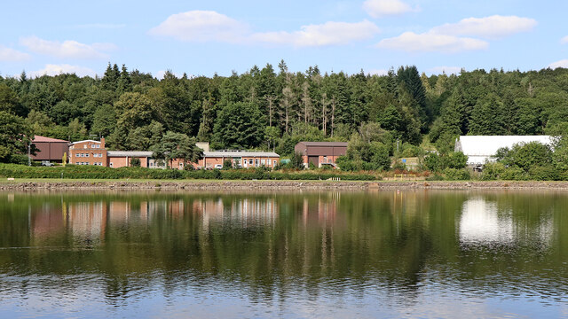
Image: © Roger Kidd Taken: 23 Aug 2021
Looking north-north-east towards the Severn Trent waterworks, across the eastern part of the main Trimpley Reservoir, backed by Eymore Wood.
Images are licensed for reuse under creativecommons.org/licenses/by-sa/2.0
Image Location
Latitude
52.408072
Longitude
-2.337619