Langley Vale Wood
Introduction
The photograph on this page of Langley Vale Wood by Ian Capper as part of the Geograph project.
The Geograph project started in 2005 with the aim of publishing, organising and preserving representative images for every square kilometre of Great Britain, Ireland and the Isle of Man.

There are currently over 7.5m images from over 14,400 individuals and you can help contribute to the project by visiting https://www.geograph.org.uk
Langley Vale Wood
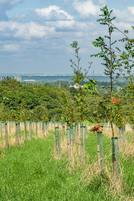
Image: © Ian Capper Taken: 24 Aug 2021
A section of Langley Vale Wood, the largest of four First World War centenary woods developed by the Woodland Trust, with distant views of Tolworth Tower, Wembley Stadium and One West Point in Acton.
Images are licensed for reuse under creativecommons.org/licenses/by-sa/2.0
Image Location
Latitude
51.300503
Longitude
-0.274026