Jutland Wood
Introduction
The photograph on this page of Jutland Wood by Ian Capper as part of the Geograph project.
The Geograph project started in 2005 with the aim of publishing, organising and preserving representative images for every square kilometre of Great Britain, Ireland and the Isle of Man.

There are currently over 7.5m images from over 14,400 individuals and you can help contribute to the project by visiting https://www.geograph.org.uk
Jutland Wood
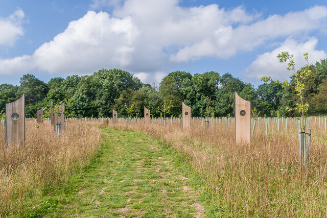
Image: © Ian Capper Taken: 24 Aug 2021
Area in Langley Vale Wood, the largest of four First World War centenary woods developed by the Woodland Trust. Each of the 14 boards created by Andrew Lapthorn commemorates a ship lost in the Battle of Jutland in 1916, listing the numbers from each drowned or surviving.
Images are licensed for reuse under creativecommons.org/licenses/by-sa/2.0
Image Location
Latitude
51.297822
Longitude
-0.272721