Canford Cliffs Road, near Poole
Introduction
The photograph on this page of Canford Cliffs Road, near Poole by Malc McDonald as part of the Geograph project.
The Geograph project started in 2005 with the aim of publishing, organising and preserving representative images for every square kilometre of Great Britain, Ireland and the Isle of Man.

There are currently over 7.5m images from over 14,400 individuals and you can help contribute to the project by visiting https://www.geograph.org.uk
Canford Cliffs Road, near Poole
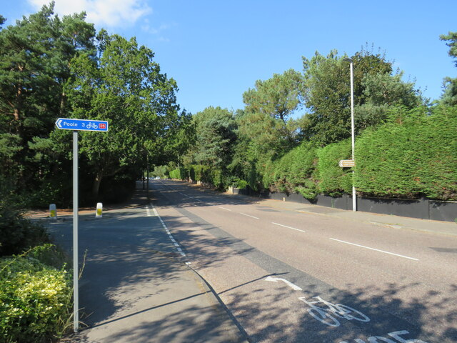
Image: © Malc McDonald Taken: 25 Aug 2021
Canford Cliffs Road near Poole. The blue sign indicates the route of National Cycle Network route 25 which heads to Poole, then onwards towards Longleat.
Images are licensed for reuse under creativecommons.org/licenses/by-sa/2.0
Image Location
Latitude
50.713208
Longitude
-1.926155