Bury Road, Branksome Park, near Poole
Introduction
The photograph on this page of Bury Road, Branksome Park, near Poole by Malc McDonald as part of the Geograph project.
The Geograph project started in 2005 with the aim of publishing, organising and preserving representative images for every square kilometre of Great Britain, Ireland and the Isle of Man.

There are currently over 7.5m images from over 14,400 individuals and you can help contribute to the project by visiting https://www.geograph.org.uk
Bury Road, Branksome Park, near Poole
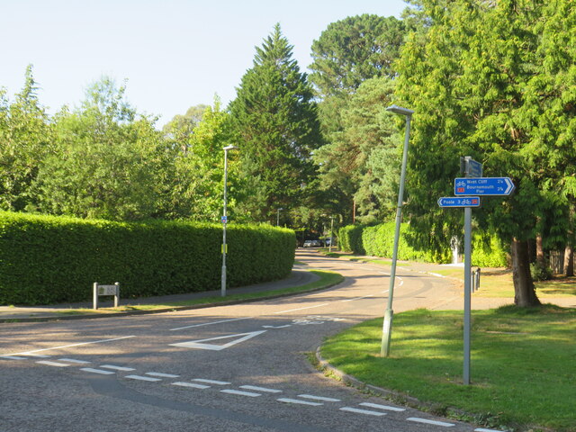
Image: © Malc McDonald Taken: 25 Aug 2021
Bury Road in Branksome Park, a suburb of Poole. The signs indicate that this is on the route of National Cycle Network route 25, linking Bournemouth with Longleat.
Images are licensed for reuse under creativecommons.org/licenses/by-sa/2.0
Image Location
Latitude
50.712847
Longitude
-1.923606