County Bridge Marker on Aller Hill, Dawlish
Introduction
The photograph on this page of County Bridge Marker on Aller Hill, Dawlish by T Jenkinson as part of the Geograph project.
The Geograph project started in 2005 with the aim of publishing, organising and preserving representative images for every square kilometre of Great Britain, Ireland and the Isle of Man.

There are currently over 7.5m images from over 14,400 individuals and you can help contribute to the project by visiting https://www.geograph.org.uk
County Bridge Marker on Aller Hill, Dawlish
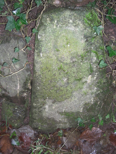
Image: © T Jenkinson Taken: 31 Jan 2014
County Bridge Marker set in the garden wall of Brookside Cottage on the west side of Aller Hill, 80 metres south of Stonelands Bridge in Dawlish parish. The stone marks the extent of roadway adjoining the bridge that the County was obliged to maintain. Milestone Society National ID: DV_DAW03br
Images are licensed for reuse under creativecommons.org/licenses/by-sa/2.0
Image Location
Latitude
50.580215
Longitude
-3.483872