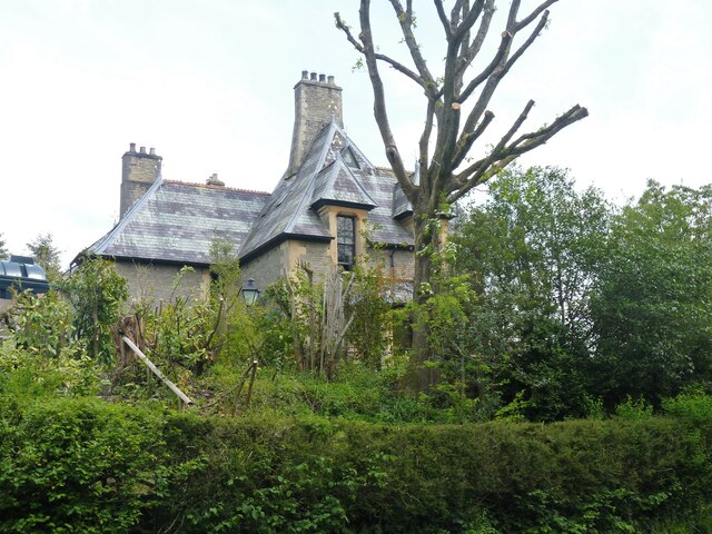
Norton houses [2]
Introduction
The photograph on this page of Norton houses [2] by Michael Dibb as part of the Geograph project.
The Geograph project started in 2005 with the aim of publishing, organising and preserving representative images for every square kilometre of Great Britain, Ireland and the Isle of Man.
There are currently over 7.5m images from over 14,400 individuals and you can help contribute to the project by visiting https://www.geograph.org.uk

Image: © Michael Dibb Taken: 1 Jun 2021
The Old Vicarage, adjacent to the church, was probably built in 1868 when the church was being restored. In a Gothic style of coursed rubble stone with ashlar dressings under a slate roof. Listed, grade II, with details at: https://cadwpublic-api.azurewebsites.net/reports/listedbuilding/FullReport?lang=&id=8953 Norton is a small, rural villages astride the B4355 road some 2 miles north of Presteigne and some 3½ miles south of Knighton. The village was a planned settlement around the Norman castle.

