Dunford House
Introduction
The photograph on this page of Dunford House by Chris Thomas-Atkin as part of the Geograph project.
The Geograph project started in 2005 with the aim of publishing, organising and preserving representative images for every square kilometre of Great Britain, Ireland and the Isle of Man.

There are currently over 7.5m images from over 14,400 individuals and you can help contribute to the project by visiting https://www.geograph.org.uk
Dunford House
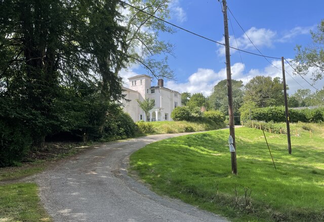
Image: © Chris Thomas-Atkin Taken: 25 Aug 2021
Dunford House viewed from the Serpent Trail. The house is notable for both its architectural and historic interest and is a Grade II listed building. For more details see https://historicengland.org.uk/listing/the-list/list-entry/1025929
Images are licensed for reuse under creativecommons.org/licenses/by-sa/2.0
Image Location


Leaflet Map data © OpenStreetMap
Latitude
50.966268
Longitude
-0.735091