Beaulieu Road, Lyndhurst
Introduction
The photograph on this page of Beaulieu Road, Lyndhurst by Malc McDonald as part of the Geograph project.
The Geograph project started in 2005 with the aim of publishing, organising and preserving representative images for every square kilometre of Great Britain, Ireland and the Isle of Man.

There are currently over 7.5m images from over 14,400 individuals and you can help contribute to the project by visiting https://www.geograph.org.uk
Beaulieu Road, Lyndhurst
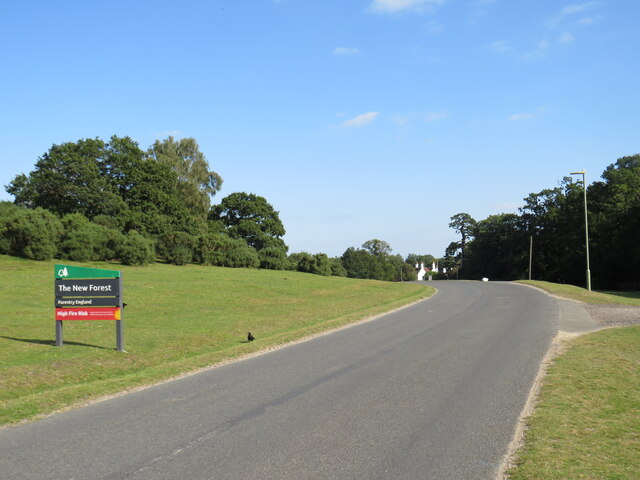
Image: © Malc McDonald Taken: 26 Aug 2021
Beaulieu Road is the B3056 road, linking the village of Lyndhurst with the village of Beaulieu. It passes through part of The New Forest. This image shows the road as it heads out of Lyndhurst.
Images are licensed for reuse under creativecommons.org/licenses/by-sa/2.0
Image Location
Latitude
50.87152
Longitude
-1.57019