WWII Lancashire: Ghost Signs of the Home Front (9)
Introduction
The photograph on this page of WWII Lancashire: Ghost Signs of the Home Front (9) by Mike Searle as part of the Geograph project.
The Geograph project started in 2005 with the aim of publishing, organising and preserving representative images for every square kilometre of Great Britain, Ireland and the Isle of Man.
There are currently over 7.5m images from over 14,400 individuals and you can help contribute to the project by visiting https://www.geograph.org.uk

Image: © Mike Searle Taken: 13 Aug 2021
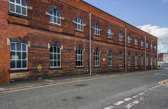
- Emergency Rendezvous Point, Lord Street, Bury (opposite junction with Parker Street) "ERP 166" Emergency Rendezvous Points (ERP) were designated places in the locality for the coordination of ARP and emergency services during civil emergencies, particularly for those services arriving from outside the area. The signs appear in a variety of designs, but most are diamond shapes framing the ERP locality number. Image

